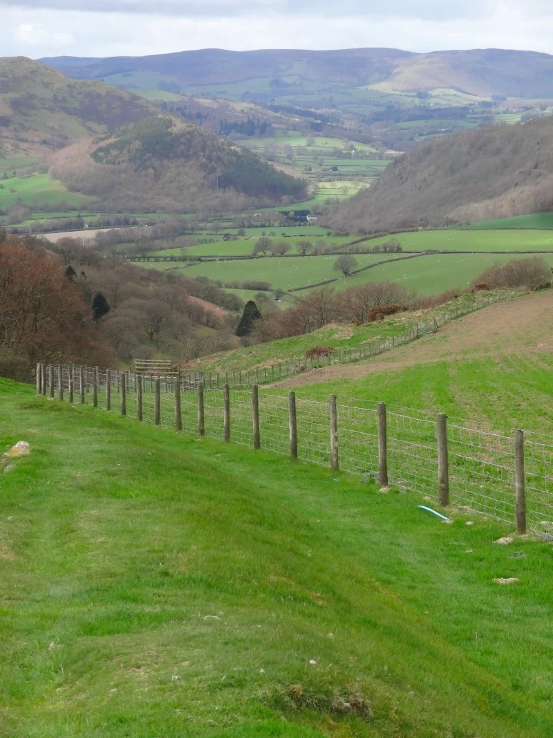
Knighton to Kington run along Offa's Dyke route. Sunday 25th October please click here to take you to a Walk Wales detailed map using Map My Walks. It is interactive and you don't need to sign in.
This is a 21.46 km route(13.31 miles) The route has a total ascent of 724.73 m and has a maximum elevation of 397. Click here for really nerdy metre by metre elevation data